
XT100 Multi-constellation Multi-frequency Survey-grade Panel Antenna
The XT200 is an ultra-compact GNSS spiral antennafeaturing high-precision positioning and minimal weight.
High-precision positioning projects continue to place greater demands on survey equipment. Whether used in land surveying, infrastructure construction, marine measurement, agricultural guidance, or geospatial data collection, professionals increasingly expect fast initialization, stable fixes, and dependable repeatability under changing field conditions.
While RTK receivers often receive the most attention during equipment selection, the quality of positioning results begins earlier in the signal chain. The GNSS antenna is responsible for receiving satellite information before any correction or processing takes place, making it an important factor in overall measurement performance.
For organizations deploying Multi-system Surveying RTK solutions, selecting an antenna built for professional survey environments can improve both efficiency and data consistency.
The Foundation of Reliable RTK Measurement
RTK workflows rely on continuous satellite tracking and accurate phase observations. Even advanced correction algorithms depend on the quality of incoming signals.
A survey-grade antenna contributes to system performance by supporting:
-
Stable satellite signal reception
-
Reduced signal distortion
-
Better resistance to reflected signals
-
Faster convergence toward fixed solutions
-
Improved measurement repeatability
-
Consistent positioning output over extended operations
When surveying conditions become more complex—such as urban construction areas, open water environments, or locations with intermittent sky visibility—the antenna plays an increasingly important role.
Multi-Constellation Capability Supports More Stable Operations
Modern positioning systems rarely depend on a single satellite network.
Professional survey antennas designed for RTK applications typically support simultaneous reception from multiple global navigation systems, allowing receivers to access a larger satellite pool and maintain solution quality more effectively.
Common supported constellations include:
-
GPS
-
GLONASS
-
BeiDou
-
Galileo
Multi-system tracking creates operational advantages such as:
-
Higher satellite availability
-
Improved positioning continuity
-
Faster fixed-status acquisition
-
Better adaptability across project locations
For teams operating across different environments, broader signal coverage helps reduce interruptions and maintain workflow consistency.
Why Phase Stability Matters in Professional Surveying
Survey projects often focus not only on achieving accuracy once, but on achieving consistent results repeatedly.
Applications including control network establishment, infrastructure monitoring, terrain analysis, and long-term observation depend on stable measurement behavior.
Survey antennas with optimized phase center characteristics help support:
Repeatable Survey Results
Consistent antenna performance reduces variability between observation sessions.
Better Long-Term Data Reliability
Monitoring projects benefit from stable positioning references over time.
Higher Confidence During Validation
Reliable measurement behavior simplifies quality control and post-processing workflows.
In precision positioning environments, repeatability often becomes as important as absolute accuracy.
Designed for Daily Field Conditions
Survey equipment operates outside controlled testing environments.
Real projects expose positioning systems to conditions including:
-
Rain and humidity
-
Dust and airborne particles
-
Temperature fluctuations
-
Mechanical vibration
-
Electromagnetic interference
Professional GNSS antennas are typically engineered with environmental protection and signal stability in mind to support continuous operation across demanding applications.
Typical use scenarios include:
Land Surveying
Support long-duration measurements and continuous positioning performance.
Marine and Hydrographic Operations
Maintain stable signal reception where reflective surfaces affect measurements.
Precision Agriculture
Enable uninterrupted guidance and positioning across large operational areas.
Engineering and Infrastructure Projects
Provide dependable positioning throughout changing construction conditions.
Integration Flexibility Helps Protect Existing Investments
Survey organizations frequently operate mixed hardware environments.
Choosing an antenna that supports compatibility with multiple receiver platforms can simplify deployment and reduce transition costs.
Flexible integration supports:
-
Faster implementation
-
Reduced training requirements
-
Improved equipment utilization
-
Easier system expansion
This approach allows teams to upgrade positioning capability without redesigning existing survey processes.
Key Considerations Before Selecting a Survey Antenna
When evaluating survey antennas for RTK deployment, practical considerations often deliver more value than specification comparisons alone.
Consider the following:
-
Multi-constellation and multi-frequency support
-
Performance under partial obstruction
-
Signal stability during long sessions
-
Environmental protection level
-
Receiver compatibility
-
Suitability for repeatable measurement workflows
Conclusion
High-accuracy positioning depends on more than processing power and correction services. Stable signal reception remains fundamental to achieving dependable RTK performance.
For organizations expanding Multi-system Surveying RTK capability, investing in a professional survey antenna can strengthen positioning consistency, reduce operational interruptions, and improve confidence in field data across surveying, marine, agricultural, and engineering applications.
Understanding antenna performance at the planning stage helps build a positioning solution that performs reliably in real working conditions rather than only under ideal test scenarios.
Related products
-
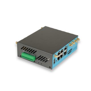
Top-Rated 5G Industrial Router OEM Factory: E-Lins Technology’s Authority in Professional Manufacturing
Contact UsE-Lins’ 100% self-developed firmware architecture addresses a critical vulnerability in OEM partnerships.
-
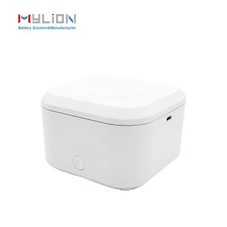
Why MYLION Mini DC UPS Is the Smart Choice for Telecom Backup Power
Contact UsMylion Mini UPS features intelligent battery management with overcharge, over-discharge, and short-circuit protection, safeguarding both the UPS and your connected equipment.
-

MYLION’s Telecom BBU Solutions: Advancing Broadband Reliability Through Engineering-Driven Backup Power Innovation
Contact UsDespite its pocket-sized footprint, the Mylion Mini UPS delivers robust performance. It features intelligent battery management with overcharge, over-discharge, and short-circuit protection.
-
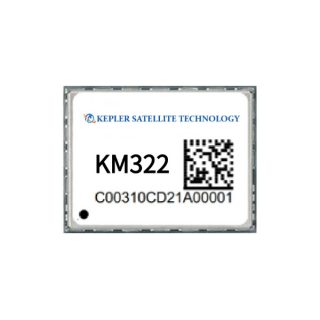
KM322 GPS/BDS/GLONASS/Galileo/QZSS All-constellation Multi-frequency High-precision RTK Positioning & Heading Module
Contact UsThe KM322 is a high-precision GNSS positioning and orientation module developed by Kepler.
Reviews
There are no reviews yet.